
Turning Qualitative into Quantitative -Road Classification based on UAV Imagery
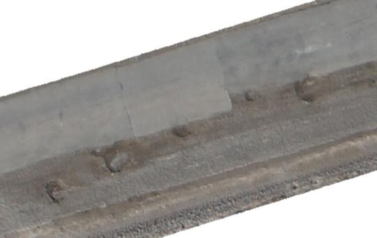
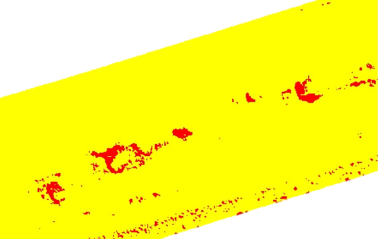
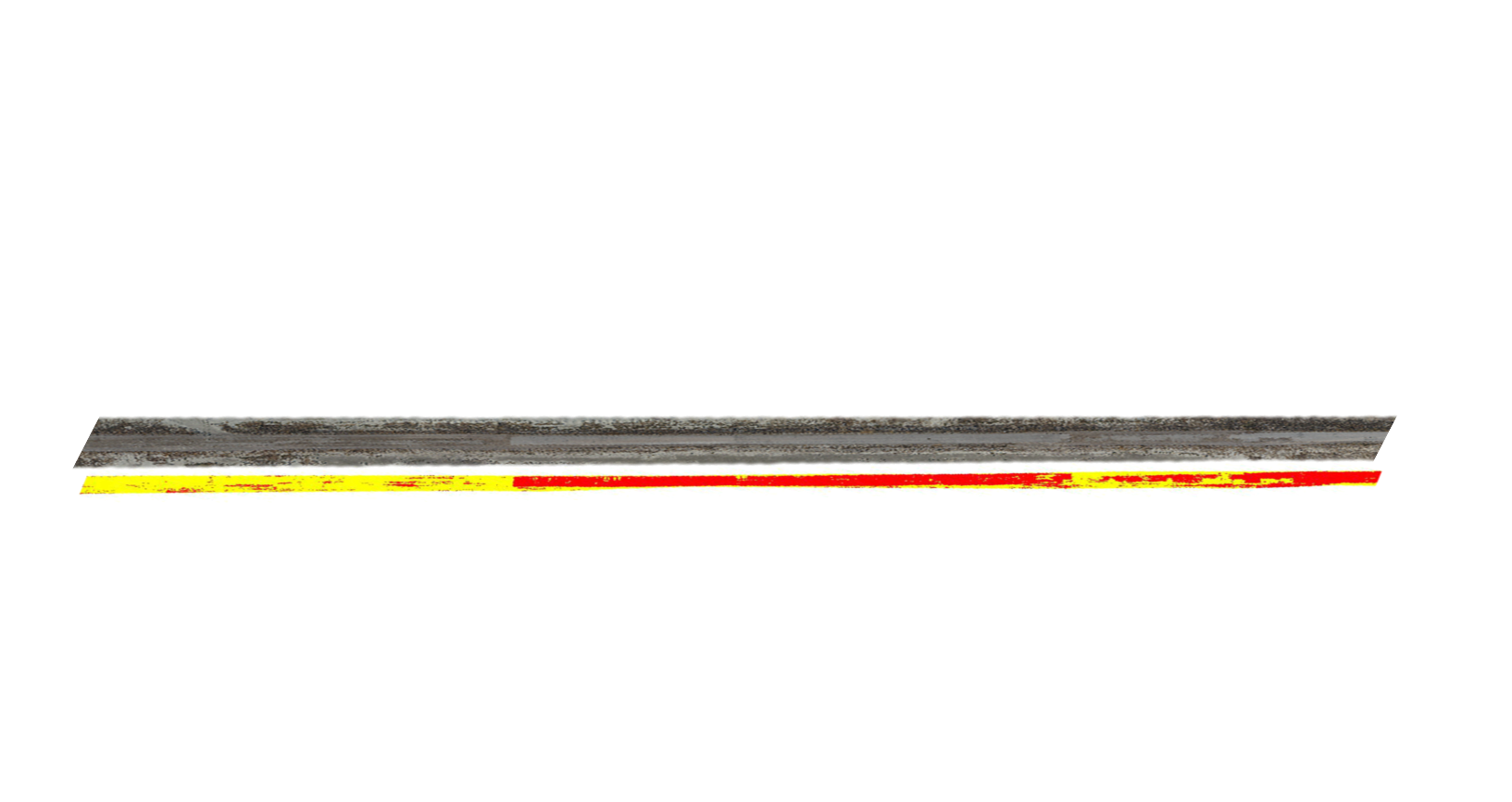
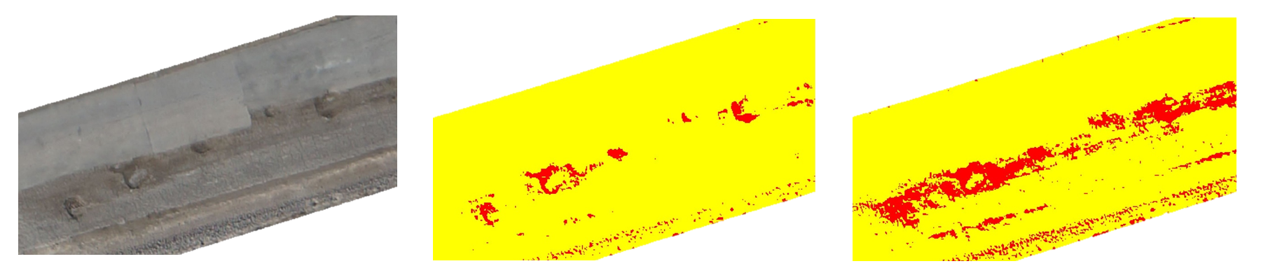
UAVs enable rapid data collection in high-spatial resolution. With novel data analysis techniques, it is possible to extract quantitative data, illustrated in this case study where information relating to road condition was provided to civil engineers for use in assessment, scheduling and budgeting.
42% of the road surface was classified as sealed, within which the degree of potholing was calculated to be between 8 - 22% depending on the thresholds set. In this case, results indicate that the road surface was classified with 95% accuracy