Manned Survey
We are able to design sensor configurations capable of economically capturing data over large areas using manned aviation.
Terrestrial Thermal Survey
On-ground verification of airborne remote sensing data.

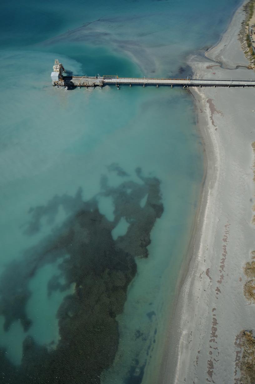
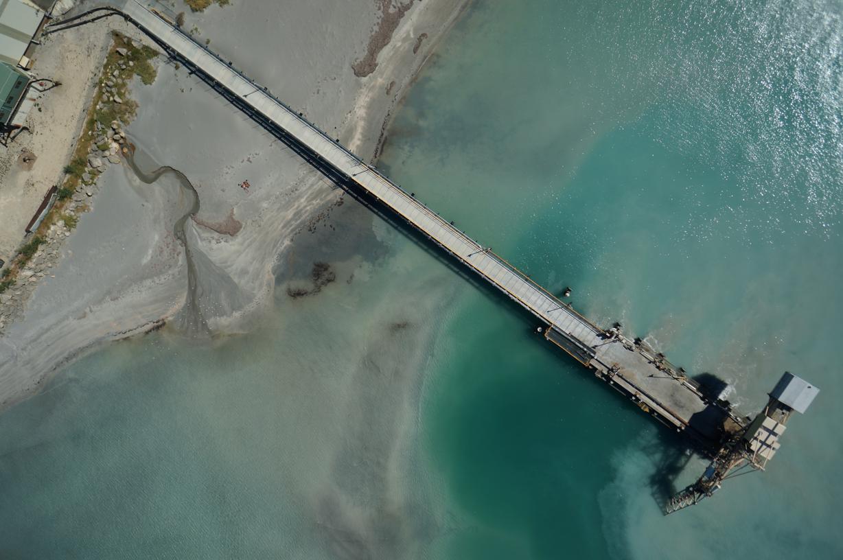
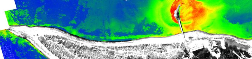
Dredge Plume Monitoring
Local scale (near-source) validation of plume models and verification of satellite remote sensing data. Working with specialist partners, we are able to convert remotely sensed information into monitoring parameters e.g. suspended sediment concentration.