
Drone 3D Mapping and Modelling Course
Drone 3D Mapping and Modelling Course
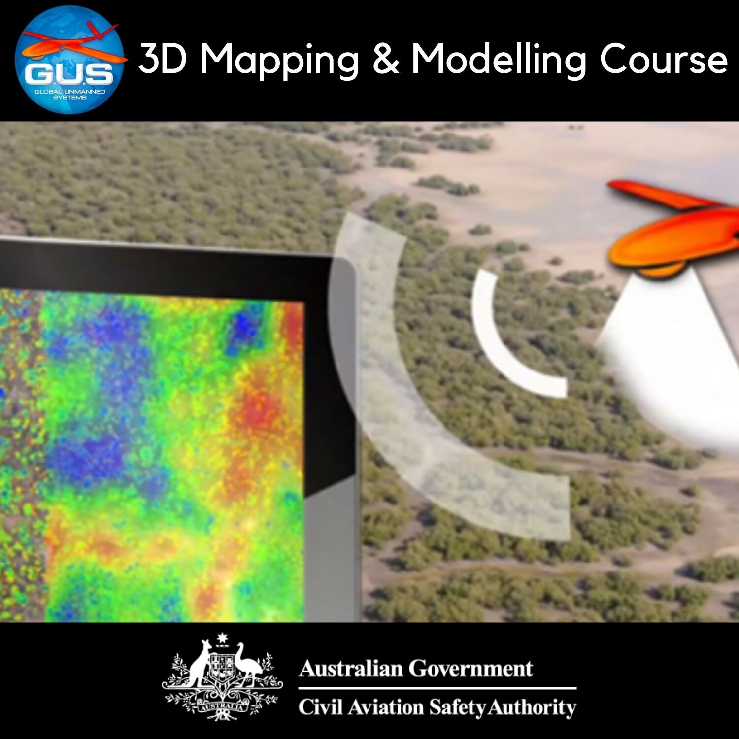
This workshop for drone enthusiasts takes you through the fundamentals and science behind 3D mapping and modelling using drones. It is designed for professionals working in sectors such as engineering, natural resources, spatial and construction project management. However, anyone with a strong interest in drones and their applications will have the pre-requisite knowledge to undertake this training.
You’ll get:
Access to a live webinar delivered by one of our geospatial team members (either one-on-one or in a small group).
A practical assignment to assist you to implement the knowledge you have gained. We will facilitate access to leading industry to processing software. All you need is access to a drone and/or a camera (a mobile phone is suitable).
Feedback on your mapping and modelling efforts.
Once your payment is confirmed, one of geospatial professionals will be in touch via the email address you provide. We will arrange your webinar and any ongoing course requirements. If you have any questions please get in touch.