Remote Metrics
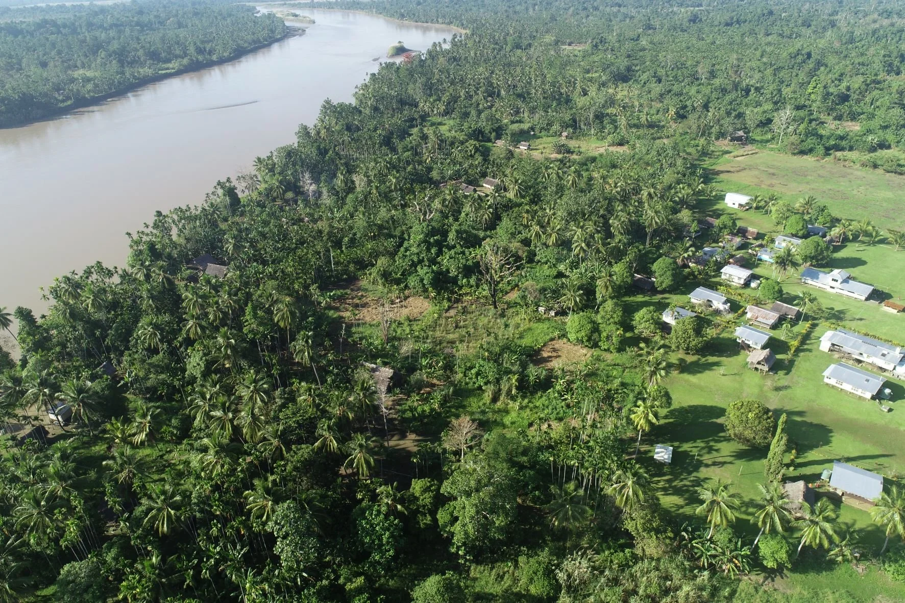
Remote Metrics is a division of GUS that specialises in providing products and services based on data derived from sensors mounted on drones or integrated data sets resulting from the combination of data from multiple sources (e.g., drones, satellites, manned aircraft or ground-based systems and surveys).
Objective:
Our objective is to augment standard approaches to mapping and monitoring with contemporary and emerging technologies to provide improved efficiencies and cost-effective options for our clients.
Contemporary and emerging technologies driving these options are:
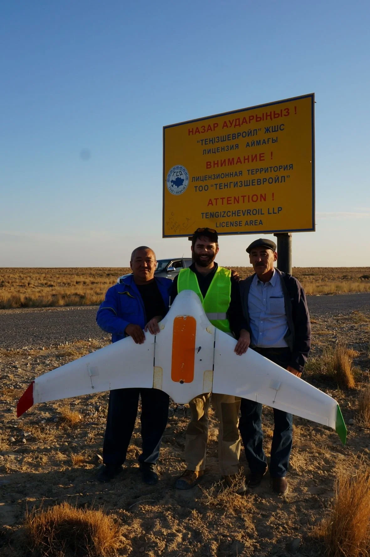
New remote sensing platforms (e.g. fixed-wing, multirotor and hybrid drones)
Improved ‘active’ systems (e.g. radar, LiDAR)
Miniaturised sensors mounted on drone platforms (e.g. hyperspectral, LiDAR)
Enhanced data transmission, storage and processing technologies (e.g. high speed internet, cloud storage, Artificial Intelligence, machine learning, data integration and data fusion).
Critical success factors:
The key to success is knowing which technologies to apply in a given situation, either individually or in combination, and the implementation model.
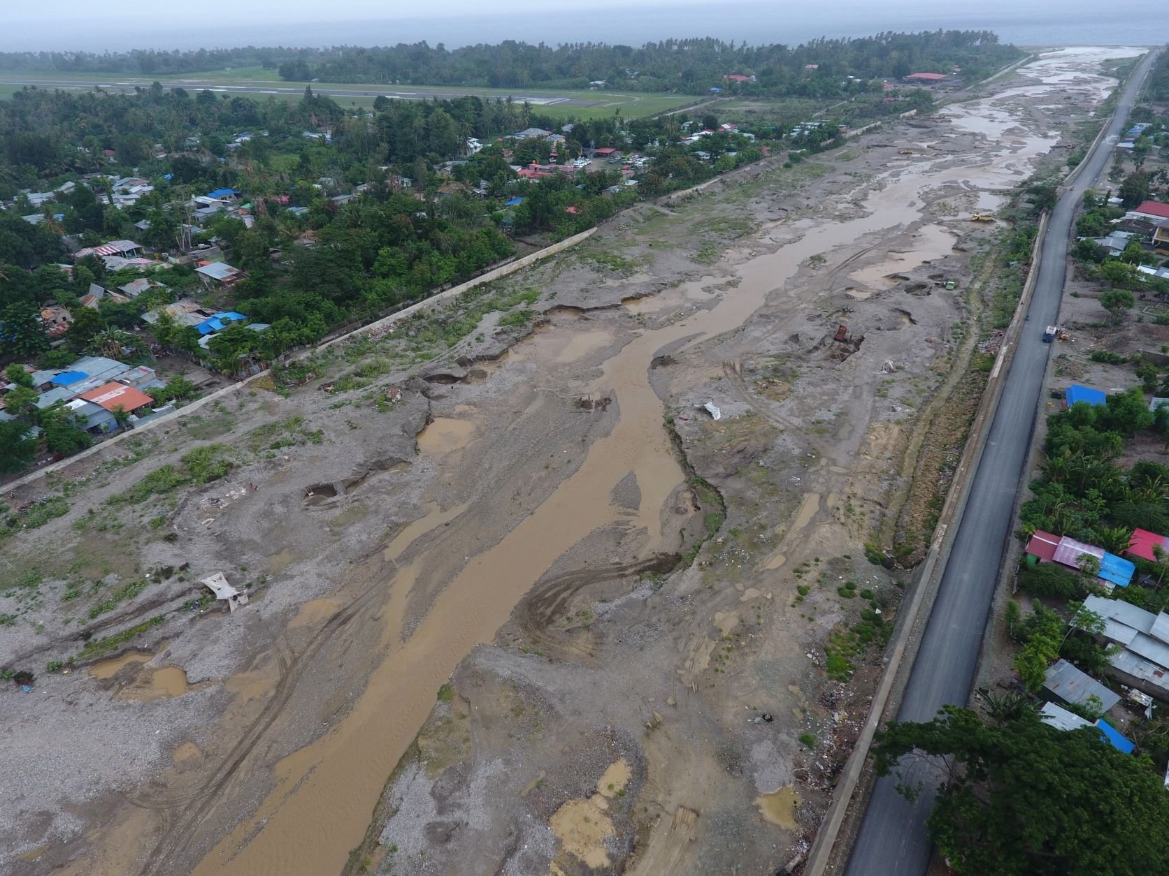
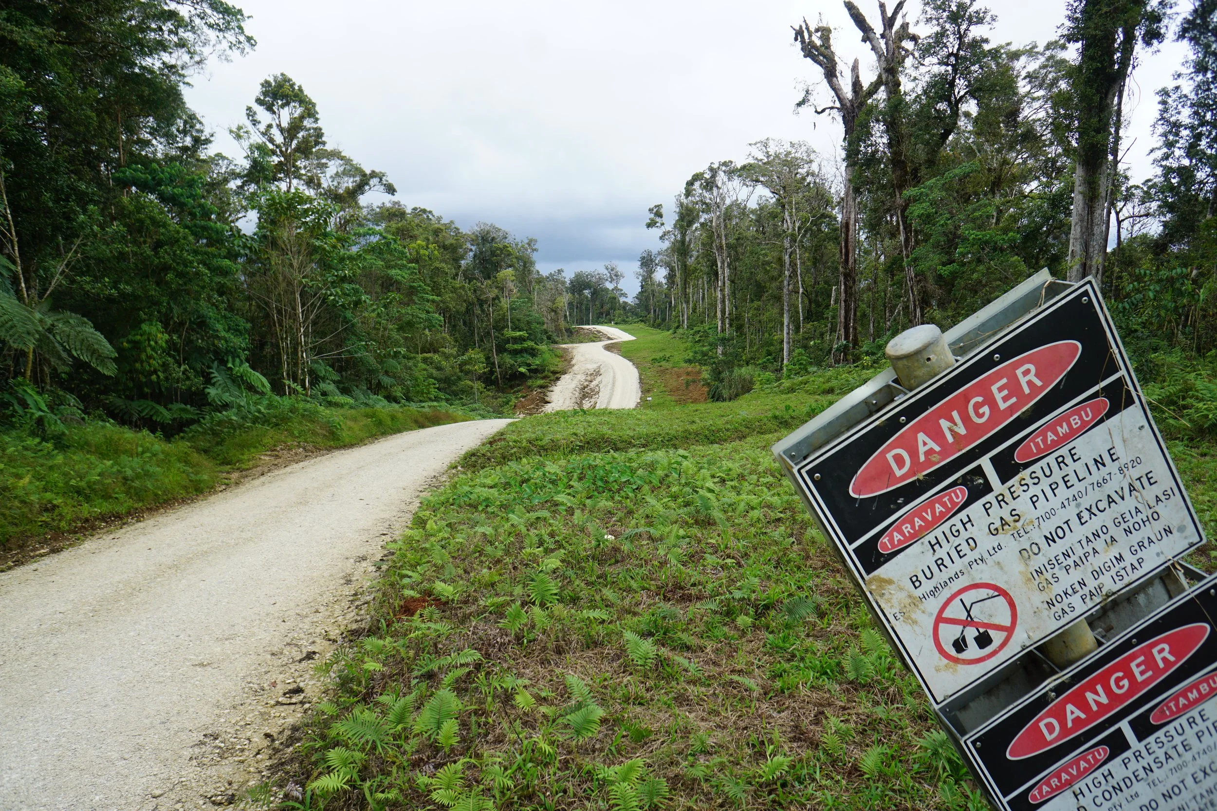
Design optimisation: By optimising the design configuration of data acquisition programs at the outset our Remote Metrics team provides the basis for successful outcomes. All projects involve a data acquisition phase, focusing on one or more targets (industrial assets, infrastructure, vegetation, fauna, etc). Some also require a monitoring phase in which case design optimisation takes account of baseline data requirements and longer-term strategic considerations associated with change detection, validation and response. Projects requiring monitoring have the greatest potential to benefit from Remote Metric’s integrated, holistic approaches.

Implementation: The optimum implementation model will vary on circumstances but will typically require consideration of multiple factors. These are assessed on a case-by-case basis.

Summary of Benefits
-
More options results in greater flexibility in the program design and therefore fit-for-purpose outcomes that reflect current and changing priorities.
-
Faster data capture and analysis, facilitating application of Mitigation Hierarchy approach to risk/impact management
-
Consistent monitoring of change against target-specific, pre-determined thresholds and time periods, and over spatially contiguous areas
-
Diminished access constraints resulting from limited roads, dense bush, terrain conditions, shallow / nearshore environments and COVID-19 restrictions
-
Reduced H&S and security risks by minimising future requirements for ground surveys; reduced risk of non-compliance
-
Enhanced opportunities for community involvement (local knowledge, M&E, decision-making, capacity-building)
-
Improved efficiency of field surveys via a combination of empirical data collection, remote measurement and image verification
-
High benefit-cost ratio (BCR) compared with conventional approaches. BCR is enhanced with coordinated, integrated approaches
Case Studies

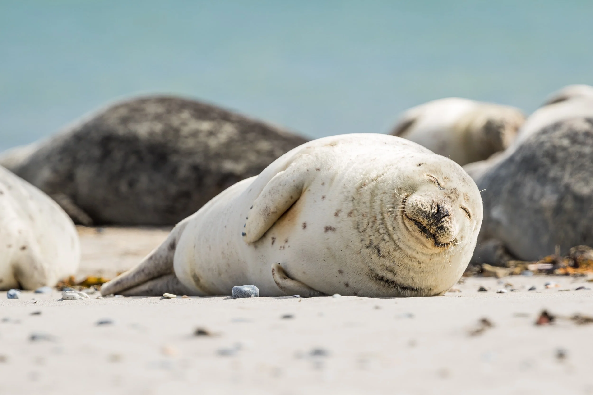
Marine Mammal Monitoring as part of Seahorse and Tarwhine Well Decommissioning in Bass Strait
September - October 2020