
Project: Topographic Mapping and Surveying the Comoro River, Timor Leste
National Petroleum and Minerals Authority & Timor Leste Cement
April 2017
National Petroleum and Minerals Authority (ANPM) is the Timor Leste government agency responsible for managing and regulating the nation’s petroleum and mining activities.
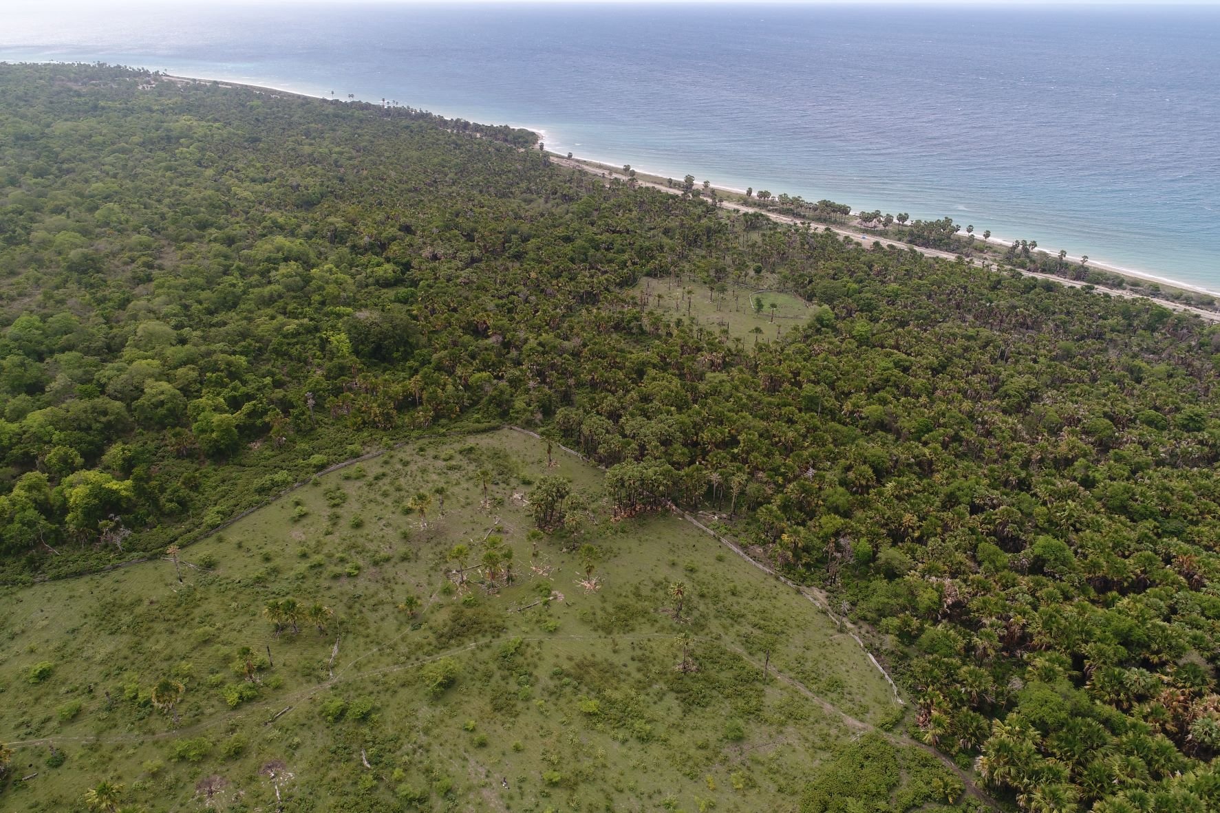
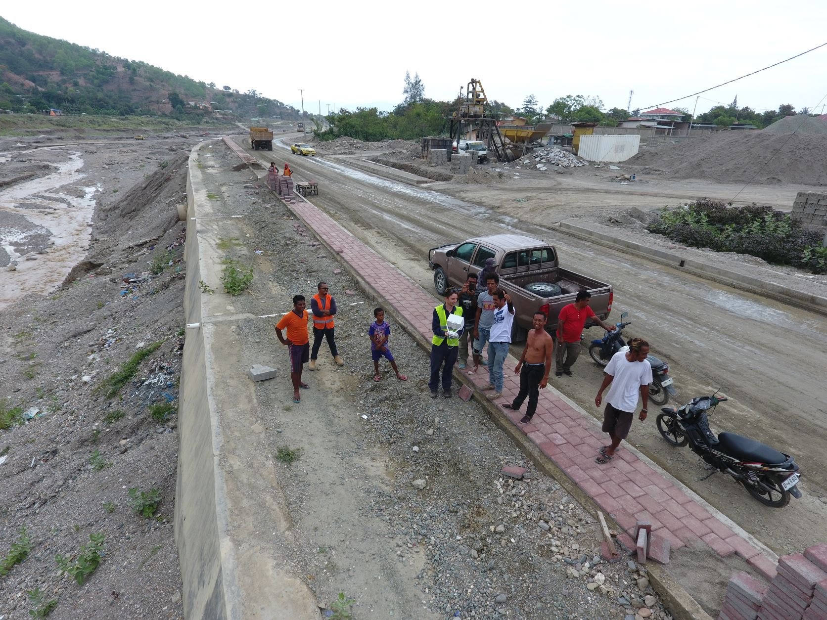
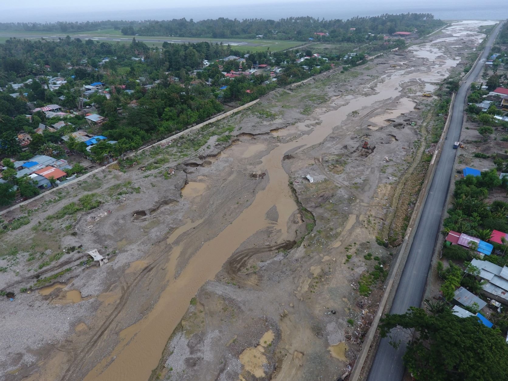
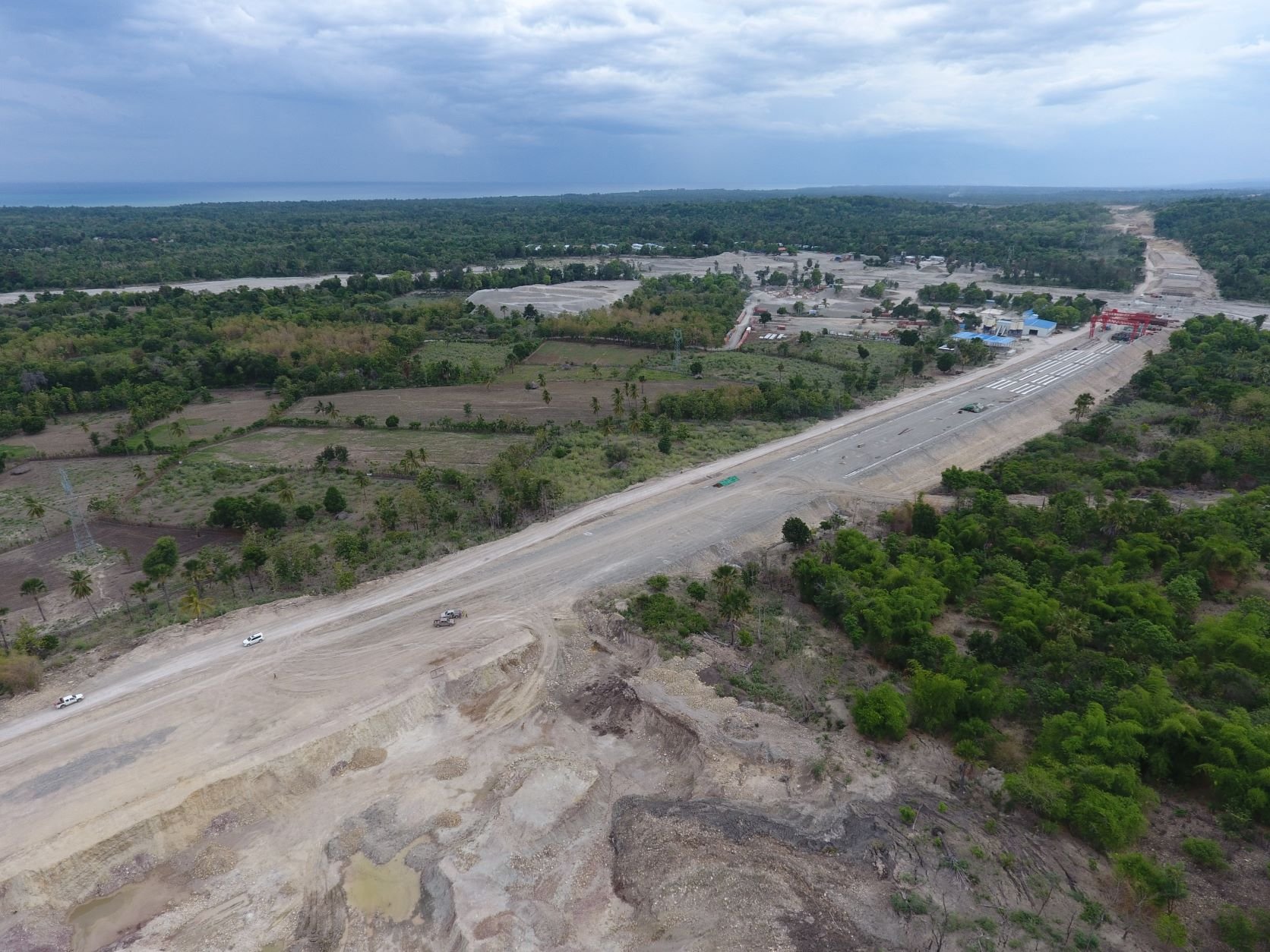
In preparation for the formal approval of the Draft Mining Code, the National, ANPM wanted to establish a baseline record of 8 operating sand/gravel/aggregate extraction sites/quarries along and adjacent to the Comoro River, which flows through Dili, the country’s capital city. The intent was to use the baseline record as a basis for formal regulation once the Draft Mining Code is enacted
GUS was engaged by ANPM to:
Identify the extent of quarries and alluvial extraction areas
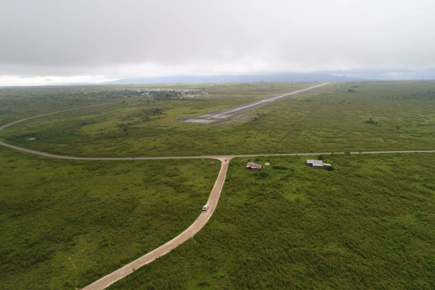
Acquire high resolution imagery and topographic data over each site, including a surrounding buffer for context (the environmental and community setting)
Establish appropriate survey control to ensure suitable accuracy requirements are met
Establish a baseline for each site against which future extraction can be monitored
Produce an electronic report with high resolution maps and calculated volumes (from which tonnages can be calculated once appropriate specific gravities are applied) based on the topographic data for each of each quarry
The original program of work was subsequently expanded to cover 27 regional sites.
In addition, GUS’s work with ANPM led to a subsequent project with private venture Timor Leste Cement (TL Cement). GUS created a high resolution topographic and imagery baseline upon which TL Cement could plan and evaluate future cement plant construction works.
GUS’s work in Timor Leste was preceded by engagement with the relevant civil aviation authority, resulting in GUS becoming Timor Leste’s first certified drone operator