Project: Resources, Asset and Infrastructure Mapping in Kazakhstan
Tengizchevroil
2014
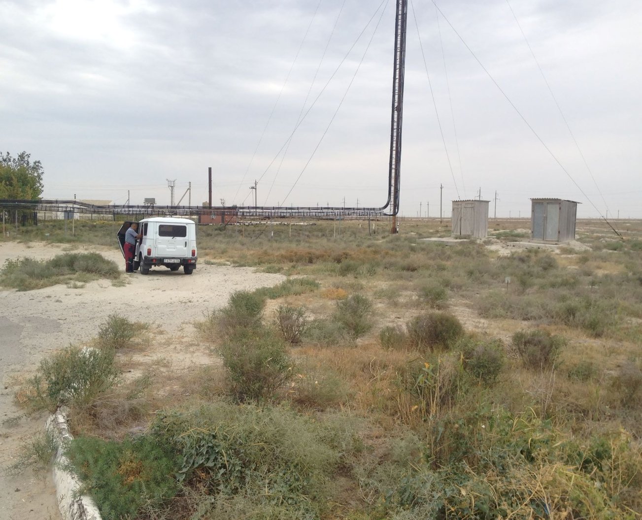
Tengiz is one of the world’s largest super oil fields. Tengizchevroil (TCO) began as a joint venture between the Republic of Kazakhstan government and Chevron. Today TCO’s partners include Chevron, Exxon Mobil, KazMunay Gas and LukAcro.
In 2014, GUS was engaged by TCO to conduct aerial mapping of resources, assets and infrastructure.
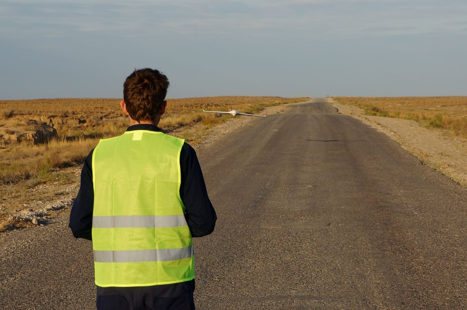
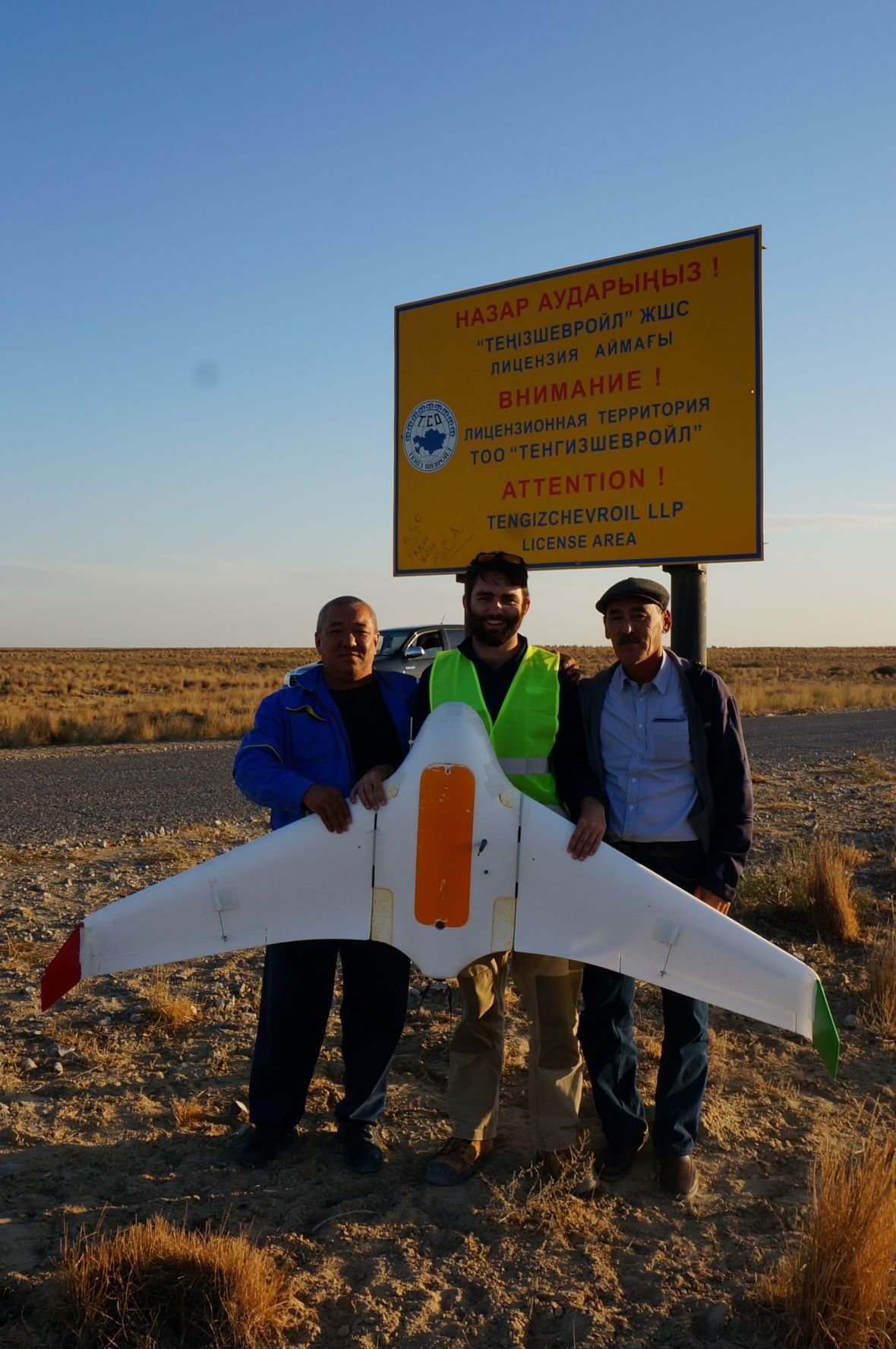
At the time, a commercial off-the-shelf drone wasn’t available to suit the client’s application. Operating at the forefront of new drone technology, GUS designed and built a bespoke fixed wing drone to cater for TCO’s unique project requirements.
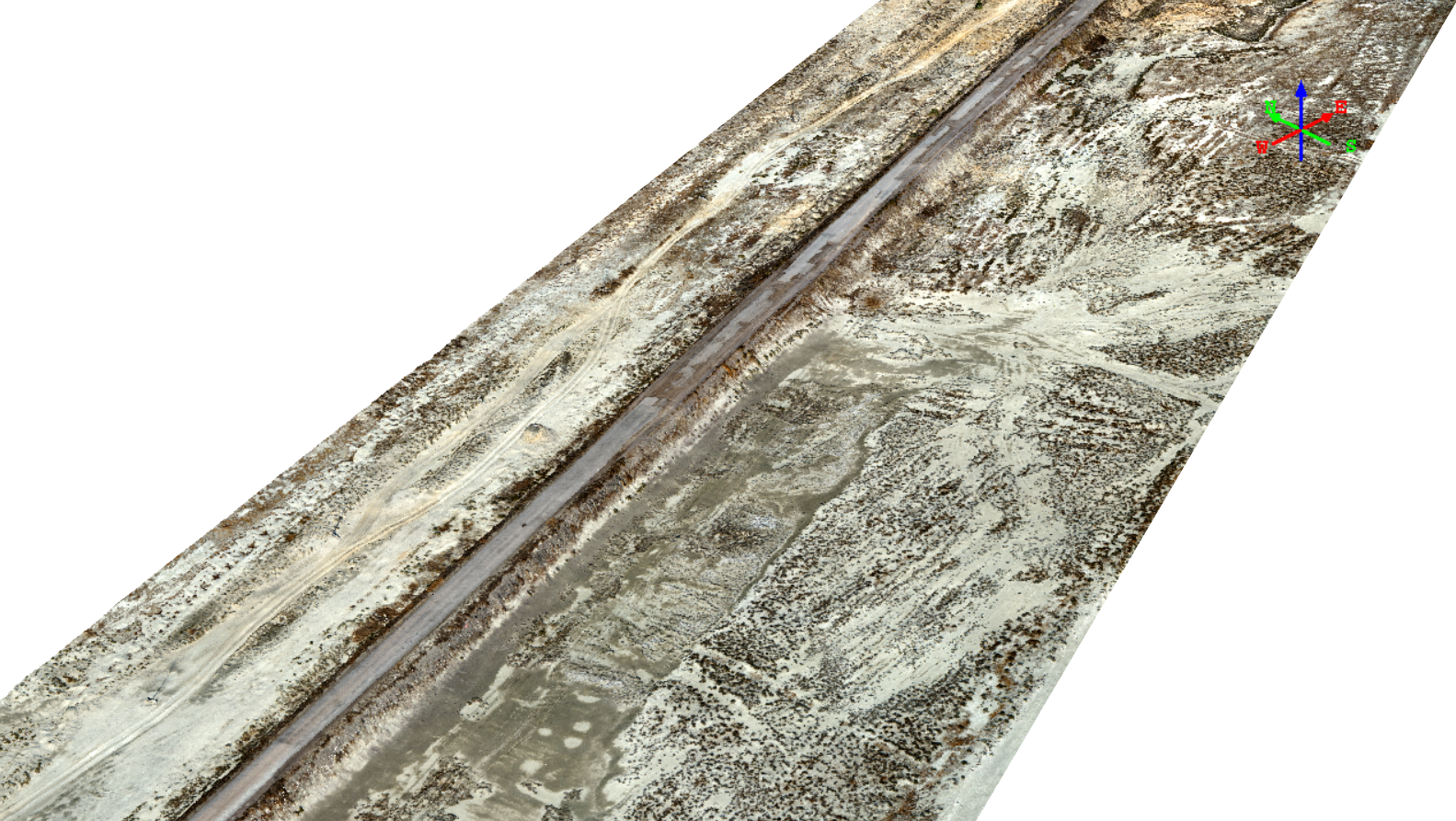
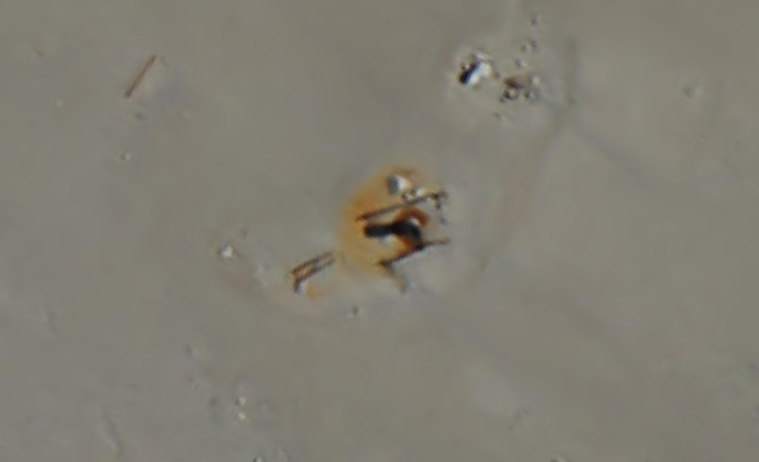
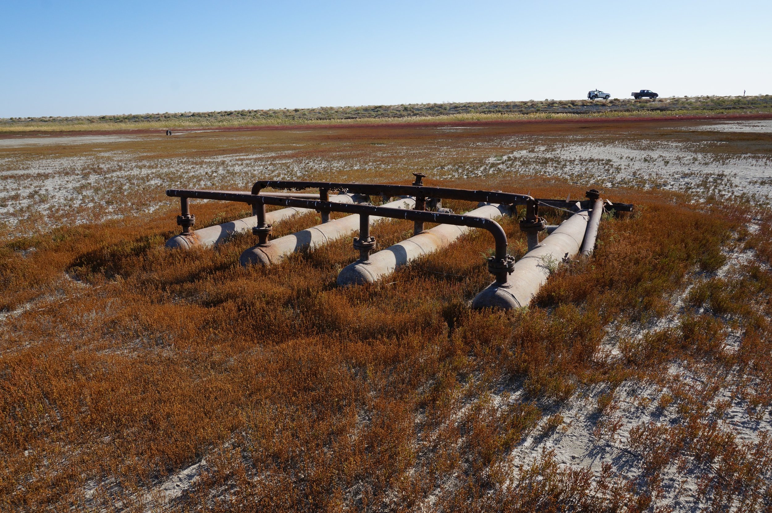
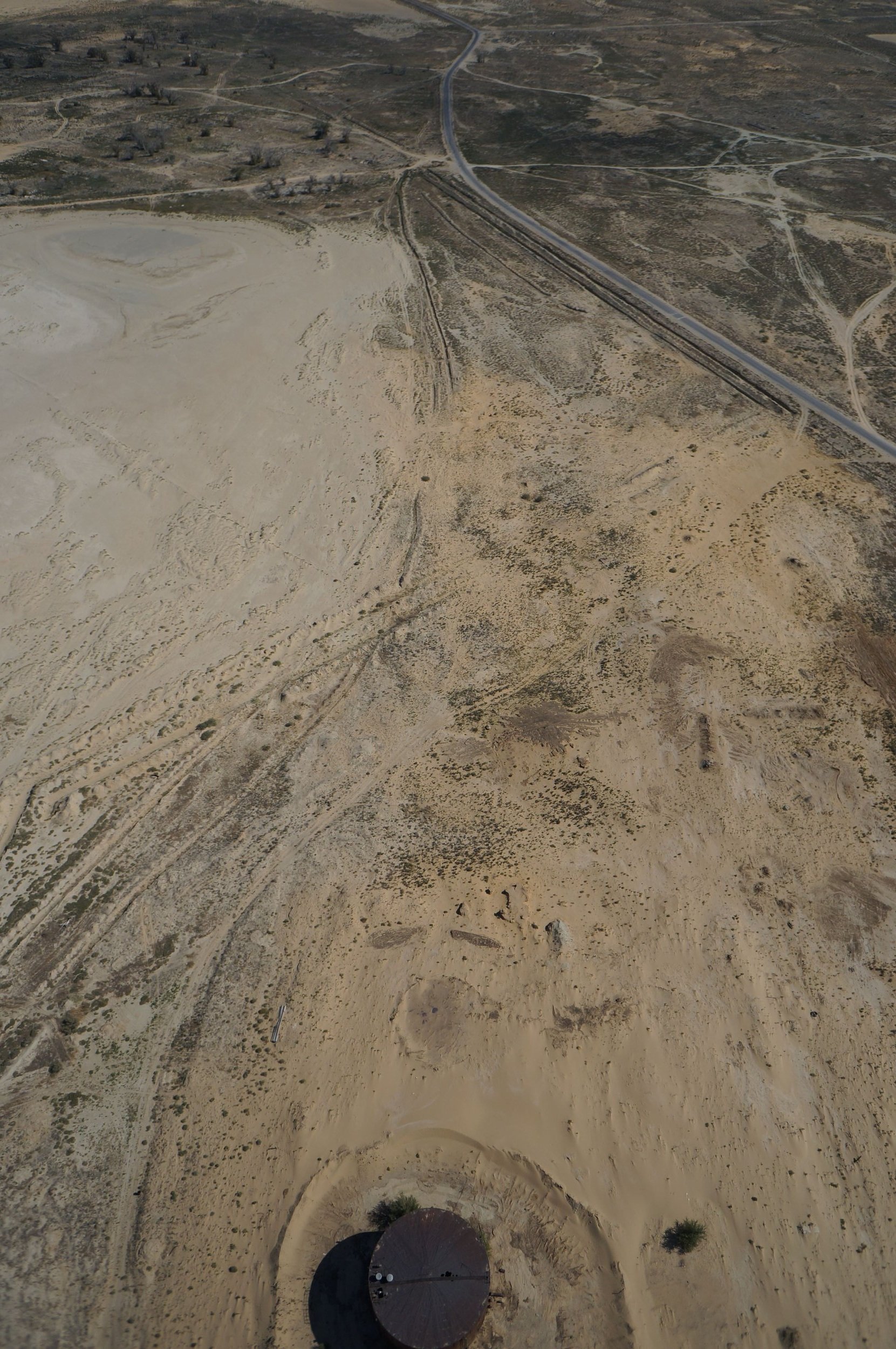
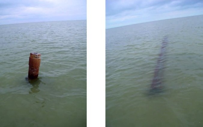
Over a period of 10 days, our team mapped 85 square kilometres of oil fields in remote northern Kazakhstan, including inshore sections of the Caspian Sea.
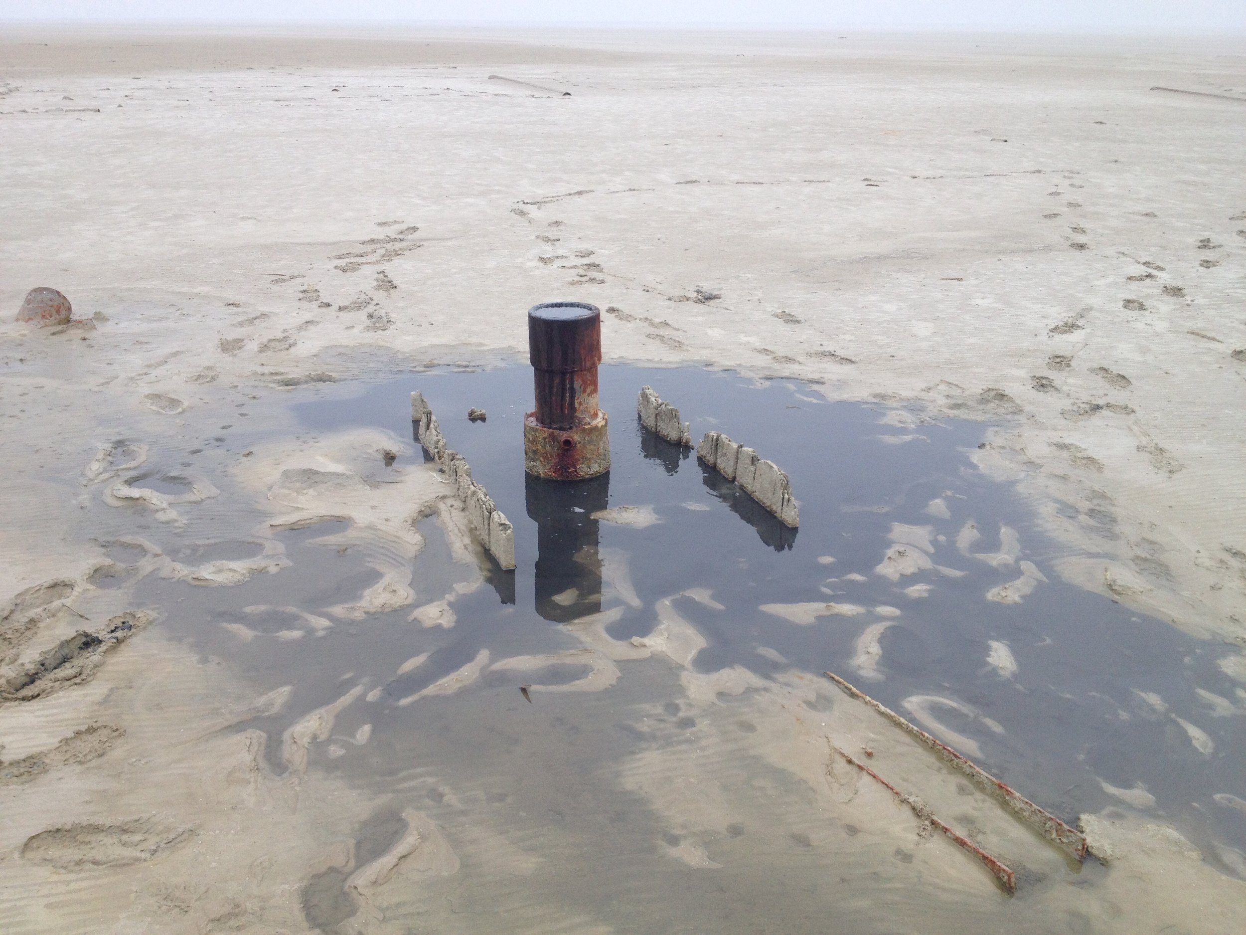
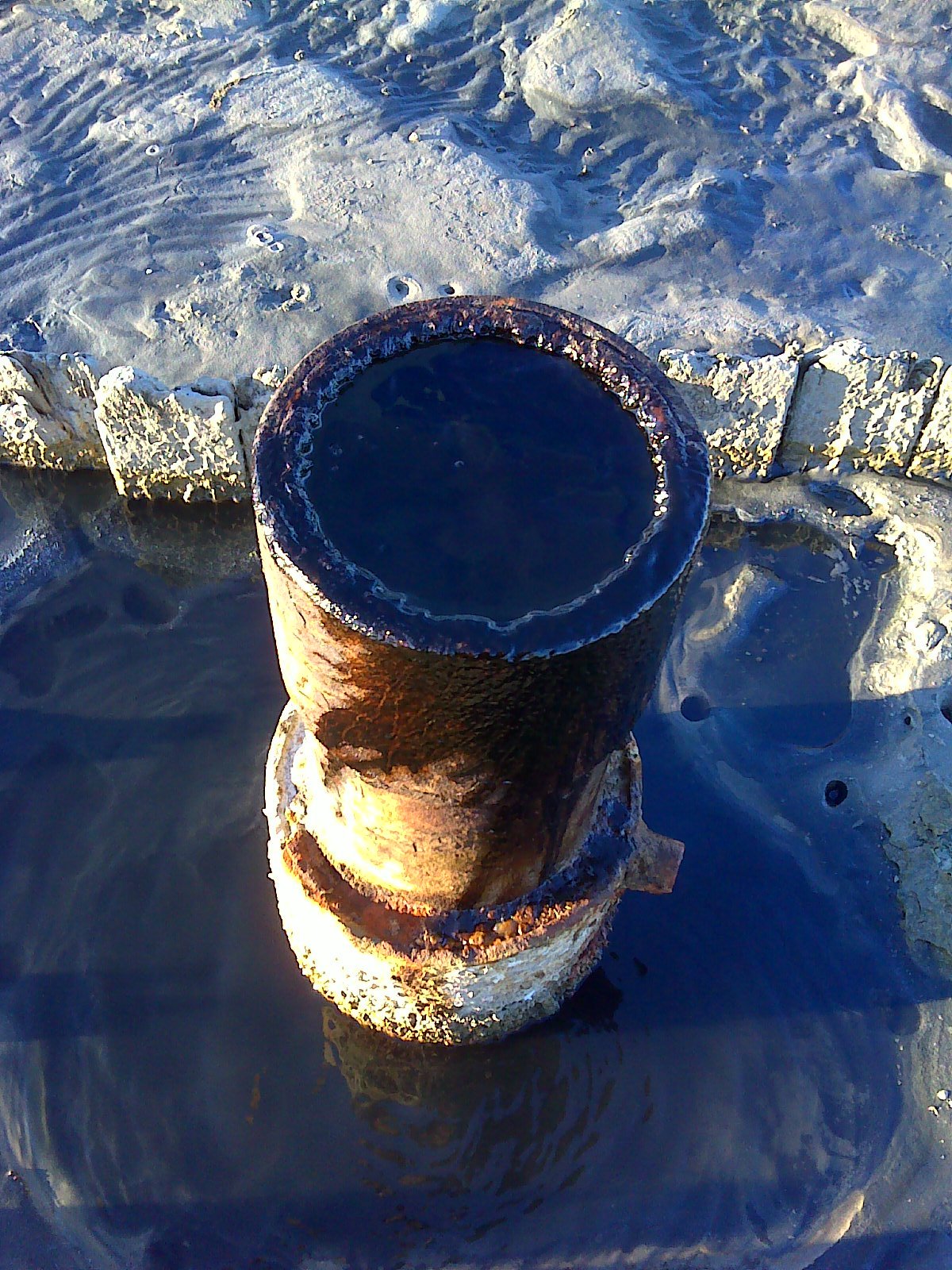
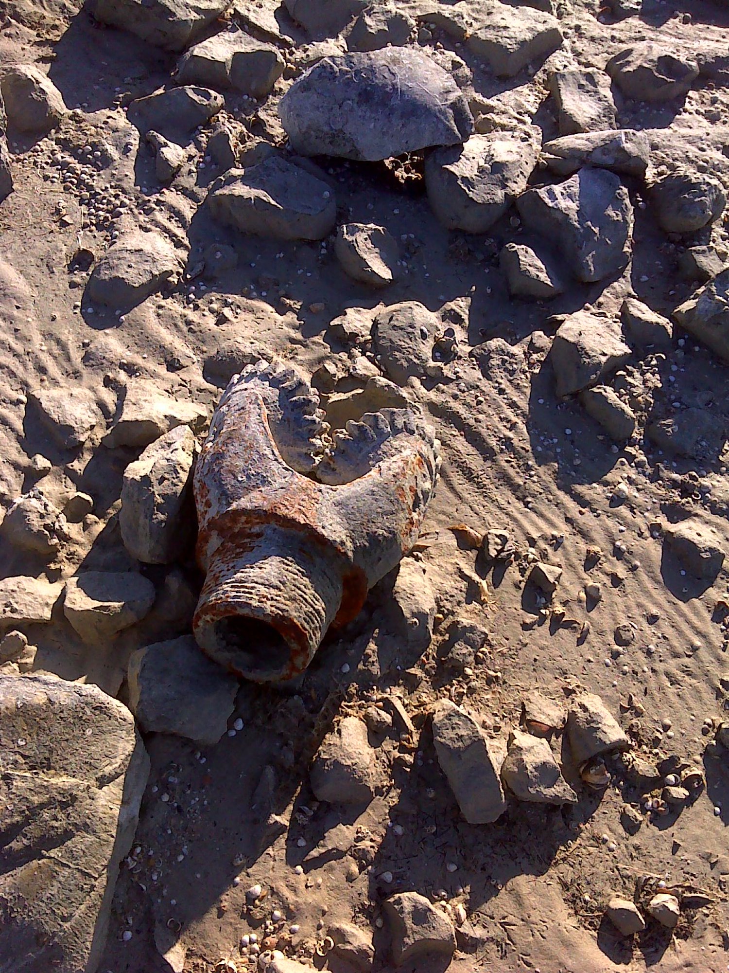
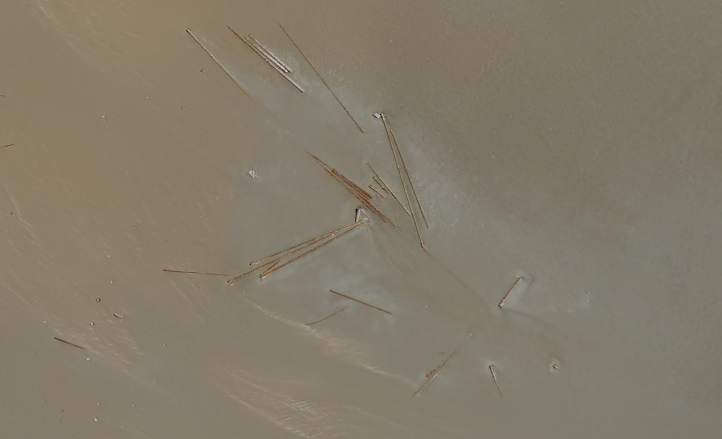
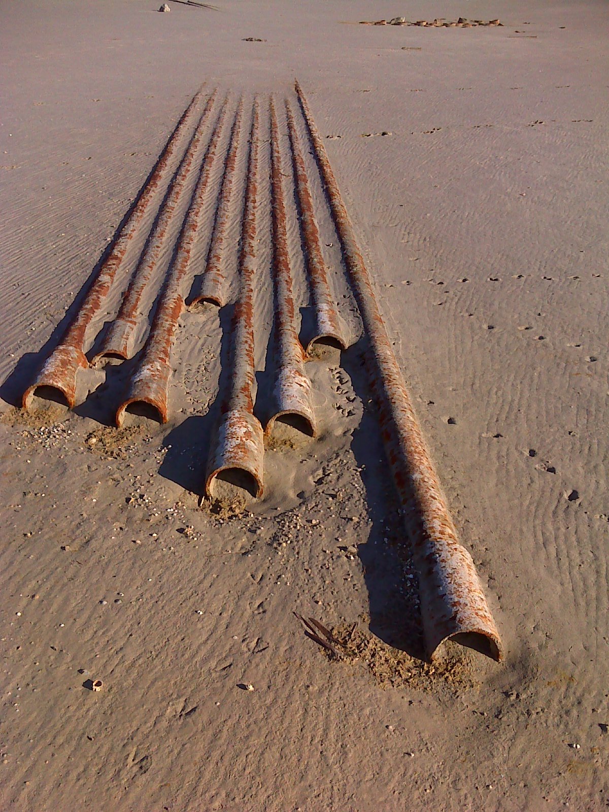
High-resolution imagery was acquired to support a variety of planning activities including road condition assessments along transport routes requiring upgrades, mapping of remnant pipelines, wellheads, discarded cable and related materials in inaccessible shallow water areas identified for dredging, and littoral zone mapping.