
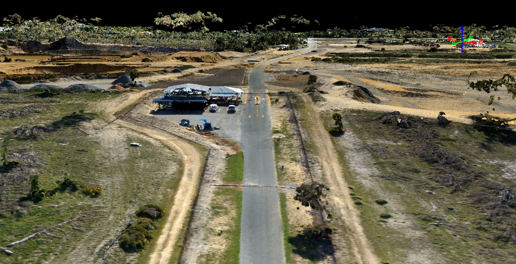
High Spatial Accuracy UAV Topographic Mapping
Tasked with mapping 5.5 sq km at a high spatial accuracy, GUS delivered imagery, digital terrain models and contours where the accuracy achieved was 95% reliably within 14cm horizontally and 20cm vertically with a 2.93cm ground sample distance. This was achieved by working in conjunction with qualified surveyors who assisted in laying out an appropriate network of ground control and check points - essential for highly accurate orthoimagery and validation of the results.


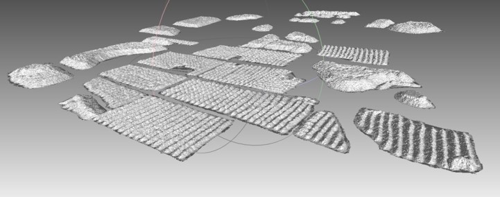
3D Topography and Volumetric Modelling

Stockpiles are an asset. In dynamic industrial environments, understanding changes to stockpiles and reliably reconciling consumption and requirements is of critical importance to business efficiency. GUS can provide drone-based monitoring solutions and management tools to enable rapid quantification of stockpile volumes..
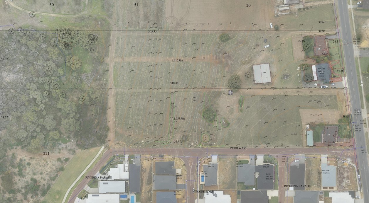
Subdivision
Drone data can provide data with comparable accuracy to a surveyor's feature and level survey but with the following key advantages:
- Complete richness of data with coverage over the entire project site including areas inaccessible to a ground-based surveyor. A drone does not require a surveyor to make subjective selections of features to survey.
- Drone-based data acquisition and surveying is significantly faster than a ground-based surveyor.
- A high-resolution orthophoto and RGB-colour point cloud enables rapid cadastral and topographic mapping.