Landcover Classification

Invasive Species
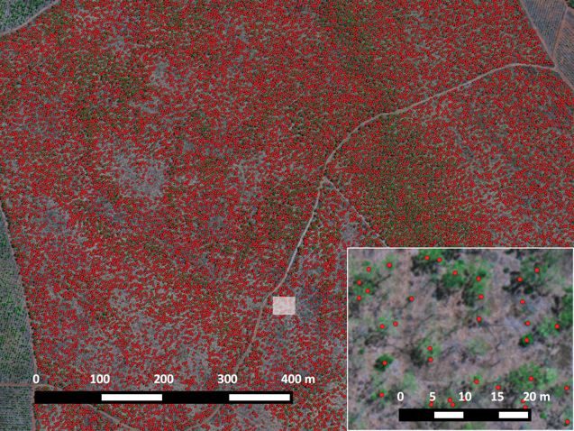
GUS can help design a program for invasive species and weed monitoring in the following ways:
- Ground-based hyperspectral studies to examine unique absorption/reflectance characteristics (spectral signature) of target species and tailor the sensor to the target.
- Temporal targeting - certain species have different growth characteristics e.g. they bloom at different times, have different responses to stresses such as water. Multiple acquisitions can help understand these variations.
- Object based analysis - high resolution aerial data, from which features like crown shape, texture, clustering etc. can be used in conjunction with the spectral signature information to indicate specific species.
Bushfire Rehabilitation
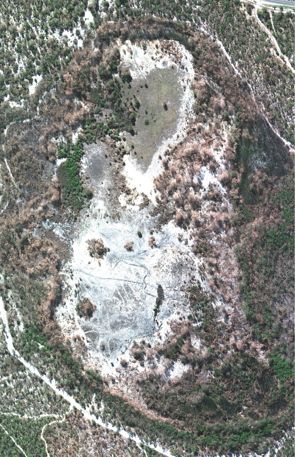
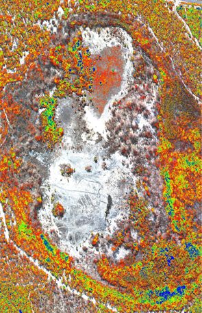
- Immediate post-fire mapping of extents of damage
- Characterisation of vegetation health
- Characterisation of areas susceptible to increased run-off and erosion
- Temporal quantitative monitoring of vegetation recovery

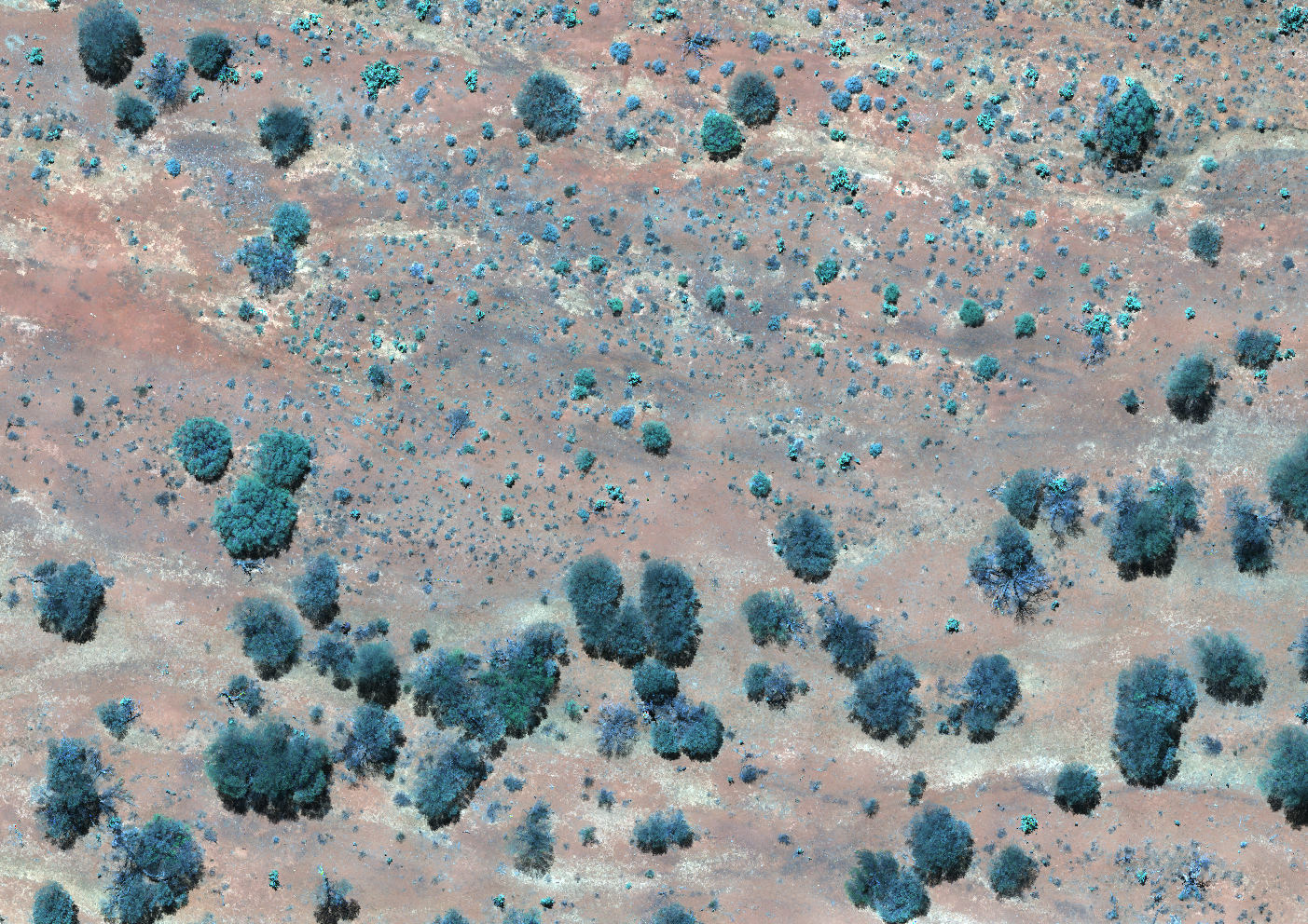
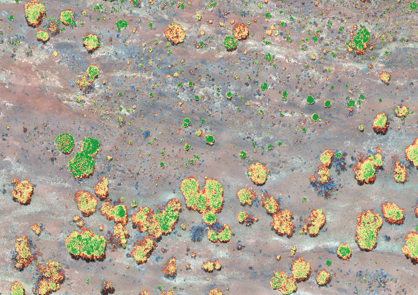
Plantation Forestry Monitoring
Block scale, high-resolution multispectral mapping of forestry assets and artificial intelligence based anaylsis to provide data and insights including:
- Canopy height models
- Canopy diameter statistics and 2D surface maps
- Tree counts
- Tree health